Engineering Surveying
Engineering surveying is one of the company's core competencies.
- Creation of site plans and elevation plans
- Terrain and natural inventory surveys
- Inventory of structures and installations
- Digitization of analog plan data
- Surveying and display of profiles
- Creation of control point networks
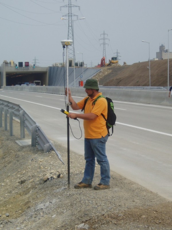
- GPS measurements and evaluations
- Specialized surveys for road and railway projects
- Construction monitoring surveys
- Axis and construction staking out
- Automated construction site monitoring
- Deformation analyses with sensor control software and remote data transmission
- Deformation predictions
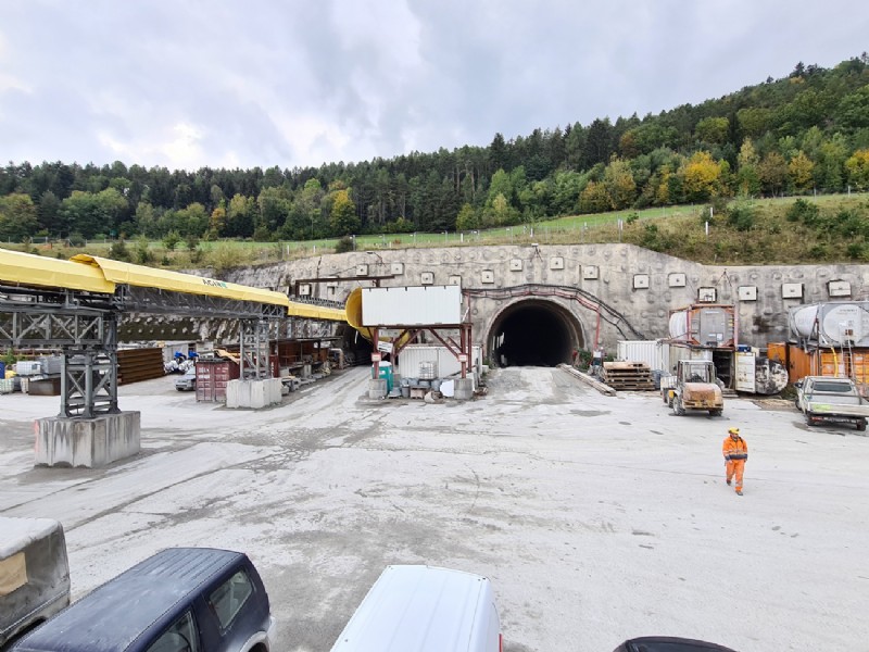
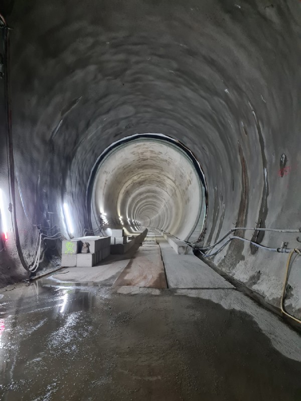
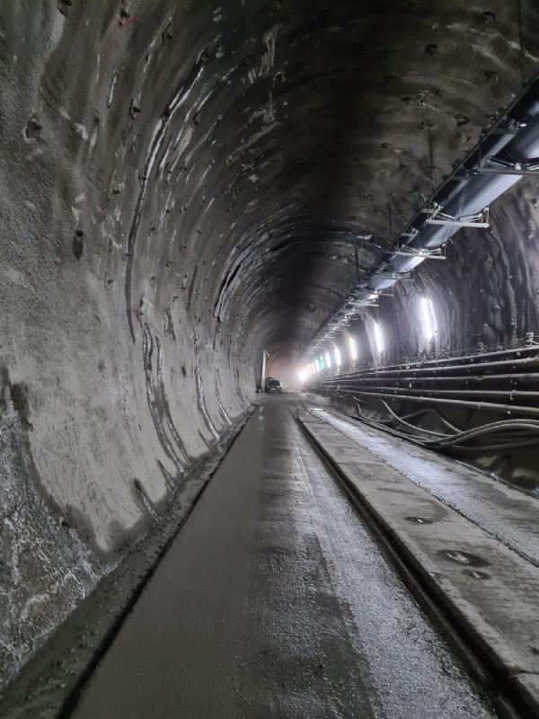
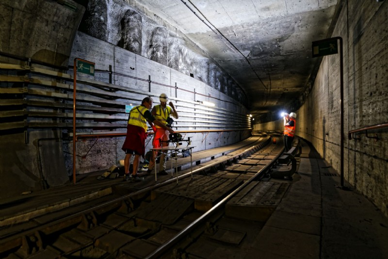
Tunnel surveying and expert reports
Semmering and Koralm tunnels
Expert reports, accuracy error analyses
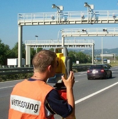
Fully automated robotic surveying systems are used to create site plans and elevation plans as well as terrain and natural inventory surveys for road construction, railway construction, river engineering, and industrial plant construction. This guarantees short on-site working times with optimal and guaranteed accuracy for every single surveyed point.
Since 1990, we have been using GPS technology, particularly for establishing control points and measuring ground control points. On large construction sites, GPS technology with wireless data transmission has become indispensable, enabling uninterrupted measurements during ongoing construction operations.
Construction-related staking, settlement measurements, and control surveys, as well as axis staking for road construction and high-precision surveying of industrial plants and machinery in the automotive industry, refinery, and pipeline construction, are carried out by a team of highly qualified graduate engineers and surveying technicians.
In river engineering, the measurement of river profiles using echo sounders and sensors is essential, and this area has developed very successfully.
For surveying underground utilities, for example, for creating a utility plan or utility cadastre (GIS), the use of ground penetration radar (GPR) has proven effective, allowing pipelines and foundations to be located with centimeter accuracy down to a depth of several meters.
Capture of underground tunnels and routes using image processing and drones