MEIXNER - 3D Visualization of City Models!
Meixner utilizes city model photogrammetry in all 3D city modeling projects and boasts a number of successful projects. The technology is based on years of research and development, including collaborations with leading technical universities, a team of computer vision experts and photogrammetics, and has been supported by numerous research projects.
The combination of high-resolution, highly overlapping digital aerial imagery with appropriate software and a cutting-edge product from the film industry will make this 3D city modeling readily available for practical application in the future. "Nice to have" is no longer just a "nice to have," but a "nice to work with" is the new motto.
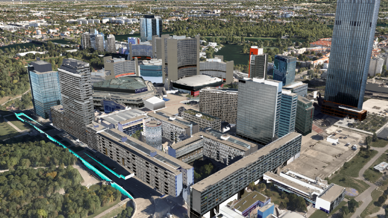
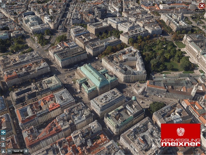
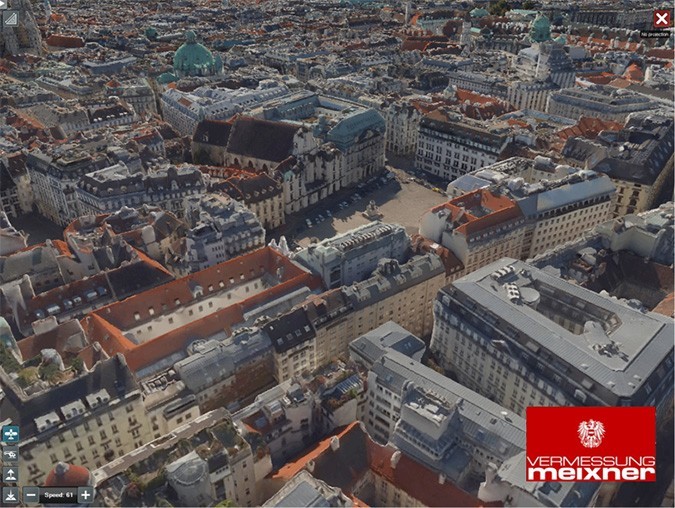
City Model Photogrammetry
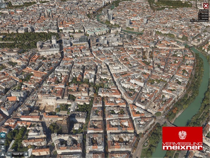
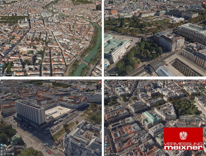
Project Visualization and Visibility Analyses
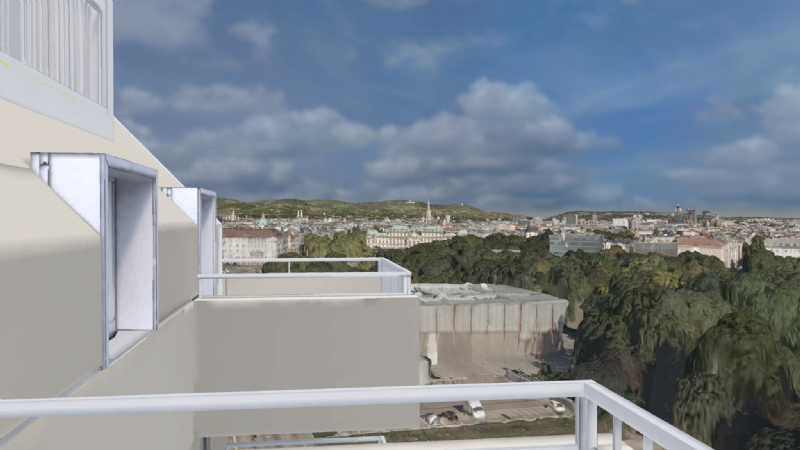
We create photorealistic simulations of, for example, views from apartments and provide videos and real-time simulations of project designs for the planning and marketing of detailed plans in building construction and civil engineering.
These representations are embedded in our 3D city models and provide a documented image accurate to the centimeter or interactively selectable views of the surroundings from our drone and aircraft footage.