Photogrammetry
We have been offering photogrammetric surveys and analyses since the 1950s. Today, in addition to analytical photogrammetry, digital aerial image analysis is indispensable.
- Digital Aerial Photographs
- Laser Scanning
- Orthophotos
- Terrestrial Photogrammetry
- Aerotriangulation
- Image Mosaicging Terrain Models
- Surface Models Line Analysis
- GIS Preparation
- 3D Building Inventory Documentation (e.g., industrial plants, city models)
- Landfill Documentation
- Gravel Pit Surveying
- Basis for Forest Management Maps
- Road and Railway Documentation
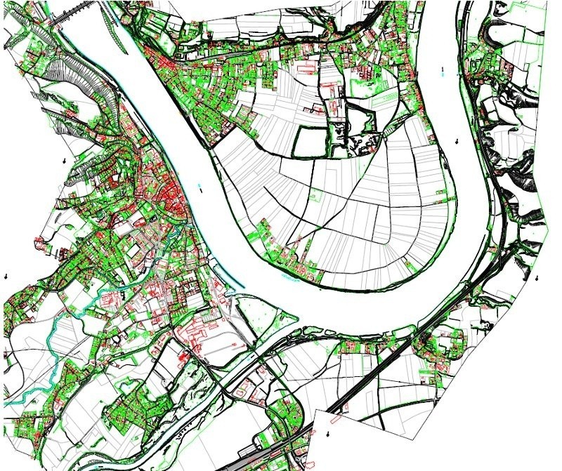
Orthophoto production, orthophoto mosaicking, 3D terrain model creation, and horizontal and vertical line analysis are based on the recognized software from Trimble/Inpho and SCOP++ from TU Vienna. A large number of processing stations enables the timely completion and delivery of even extensive projects and high-quality, nationwide topographic surveying. This includes noise abatement projects and landfill monitoring, volume determination and contour line calculation, segmentation, and image interpretation/classification.
LiDAR laser scanning is a key component of photogrammetric work and project management in the fields of hydraulic engineering, infrastructure planning, pipeline planning, forestry, and flood control. The proven Riegl scanners provide the necessary data for surface mapping and subsequent terrain modeling.
Architectural surveys are evaluated with centimeter-level accuracy using terrestrial photogrammetry, and we deliver line drawings for historic preservation and the documentation of art treasures.
Using digital photography, we can capture three-dimensional objects and streetscapes and reproduce them in scaled 3D animations and renderings. Existing software and software developments related to research projects in collaboration with university institutes form the basis of our highly specialized work.