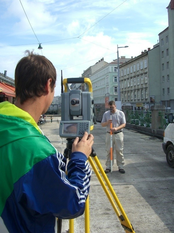
Cadastral and Land Registry Surveys
Traditionally, the work associated with cadastral and land registry surveys has formed a crucial foundation for the surveying office.
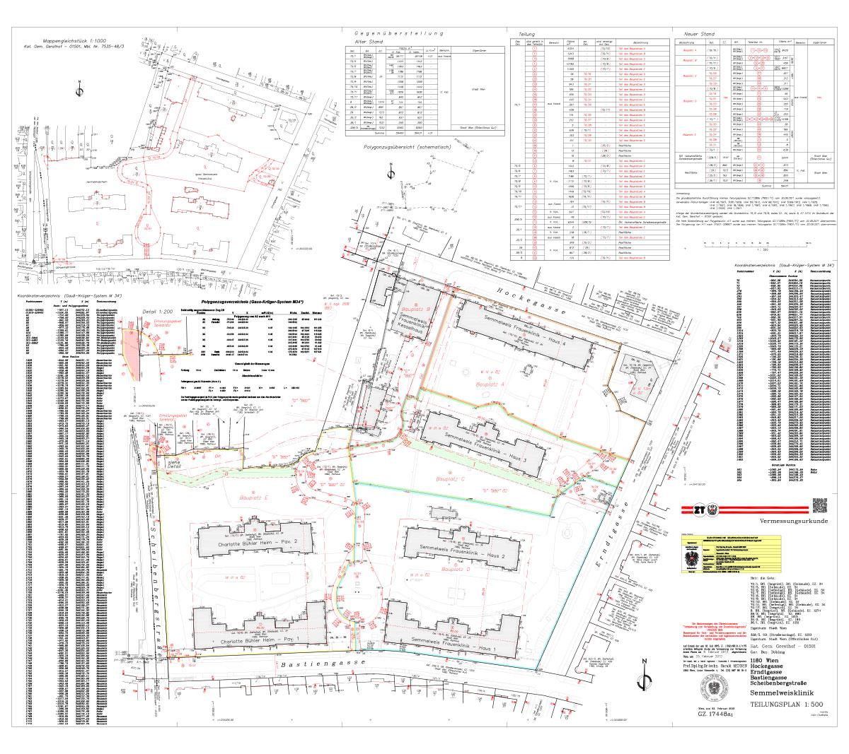
- Cadastral Surveys
- Parcel Divisions
- Land Subdivisions
- Publication of Building Regulations
- Land Acquisition Plans
- Easement Plans
- Digital Orthophotos as a Basis for Cadastral Reconstructions
- Boundary Determinations
- Boundary Adjustments
- Representation before Authorities
- Conducting Land Registry Inquiries
As a consulting engineer for surveying, Dr. Harald Meixner has been personally authorized since 1975 to perform all work that, according to the Real Estate Division Act, is reserved for authorized persons and can be considered sovereign tasks.
... This includes land acquisition plans in connection with infrastructure projects, easement plans, border negotiations, border determinations and adjustments, representation before authorities, access to the land register and cadastre and related inquiries, map corrections, and conversions to the border cadastre in Austria.